The way here
Both to, from and within Telemark you can travel by car, boat, train, bus, bicycle and plane. Farte.no Vestfold and Telemark is a complex county, which makes it exciting to travel through the diverse destinations and attractions.

Both to, from and within Telemark you can travel by car, boat, train, bus, bicycle and plane. Farte.no Vestfold and Telemark is a complex county, which makes it exciting to travel through the diverse destinations and attractions.
The road network to Telemark is mainly led through the main roads E-18, E-134 and RV 36. The E-18 runs from the Swedish border at Ørje, through Oslo and Drammen and along the coast via lower Telemark to Kristiansand. The E-134 stretches from the Oslofjord tunnel via Drammen, Notodden, Seljord and upper Telemark to Karmøy in Western Norway. RV 36 runs from Porsgrunn via Ulefoss and Bø to Seljord and connects the two European roads.
The nearest airport is Sandefjord Airport Torp (TRF) which is 45 minutes by car from Skien lock and Hjellebrygga - which is the first departure point for a boat trip up the Telemark Canal.
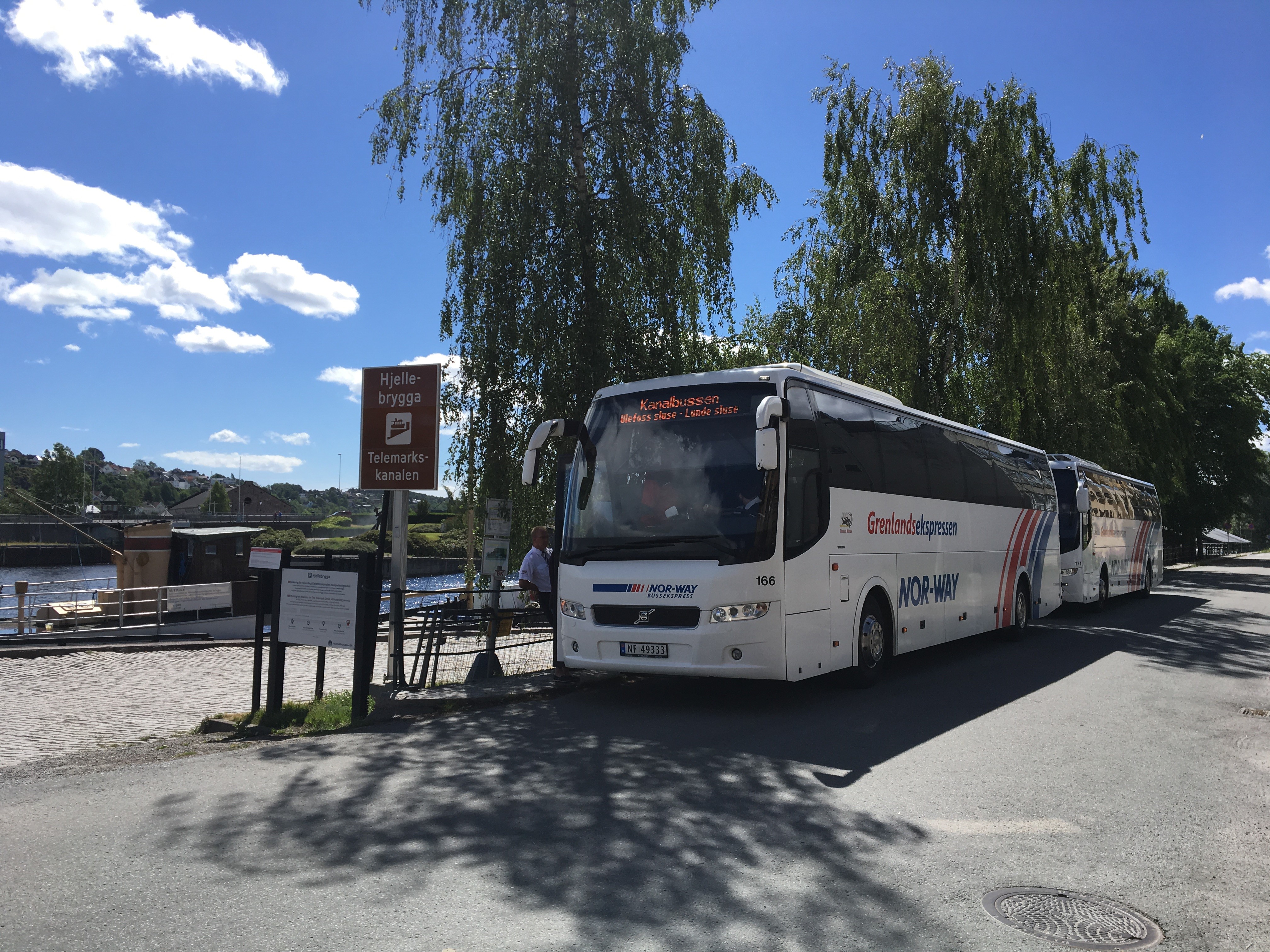
The railway service includes the Sørland Line with Bø and Lunde as central stations and the Vestfold Line from Oslo/Drammen to Porsgrunn and Skien. A well-developed express bus network covers the entrance to all parts within the county. Telemark Bilruter and Vy transport you around the county by bus.

Fjordline has daily calls by ferry between Hirtshals in Denmark and Langesund in Telemark and between Strømstad in Sweden and Sandefjord in Vestfold.
Color Line has daily calls between Hirtshals and Larvik in Vestfold, and between Strømstad in Sweden and Sandefjord in Vestfold.
The Telemark Canal is long (105 km), and we recommend using a specific address for the port of call in the GPS map. Do not use the Telemark Canal as a map search. An overview of addresses and other useful information about the ports of call can be found in our overview of the ports of call.